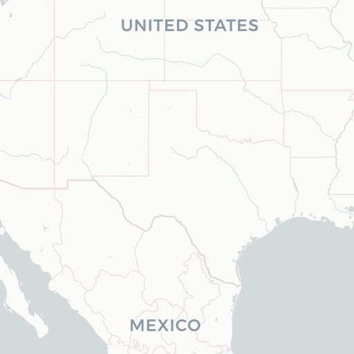
Colorado Parks & Wildlife - Species Data - Lesser Prairie Chicken Overall Range
Creator(s):
Colorado Parks and Wildlife Biologists, District Wildlife Managers, and Researchers
Description:
LPChickenOverallRange is an ESRI SDE Feature Class showing an area which encompasses all known seasonal activities within the observed range of the lesser prairie chicken. This does not include historic range. This information was derived from field personnel. A variety of data capture techniques were used including drawing on mylar overlays at 1:50,000 scale USGS county mapsheets and implementation of the SmartBoard Interactive Whiteboard using stand-up, real-time digitizing at various scales (Cowardin, M., M. Flenner. March 2003. Maximizing Mapping Resources. GeoWorld 16(3):32-35).These data were last updated in 2016.